


MARTIN COUNTY, Fla. — Out at Lake Okeechobee, there is visible blue-green algae on both the lake side and canal side of the Port Mayaca Lock.
None of this algae though is heading east right now into the St. Lucie Estuary. Part of the reason is because the lake levels have dropped several feet in the past few months.
However, if you look at the South Florida Water Management website, you may be confused as to what the actual level is. There are two numbers there: one above 13 feet, the other below 12 feet.
With 12.5 feet as the traditional level the Army Corps of Engineers likes to see the lake as hurricane season starts... what gives?
The Water Management District said it’s moving to a new measuring standard to improve the accuracy of water level data. For decades it has been the NGVD 29. Now, it’s moving to what is called the NAVD 88.
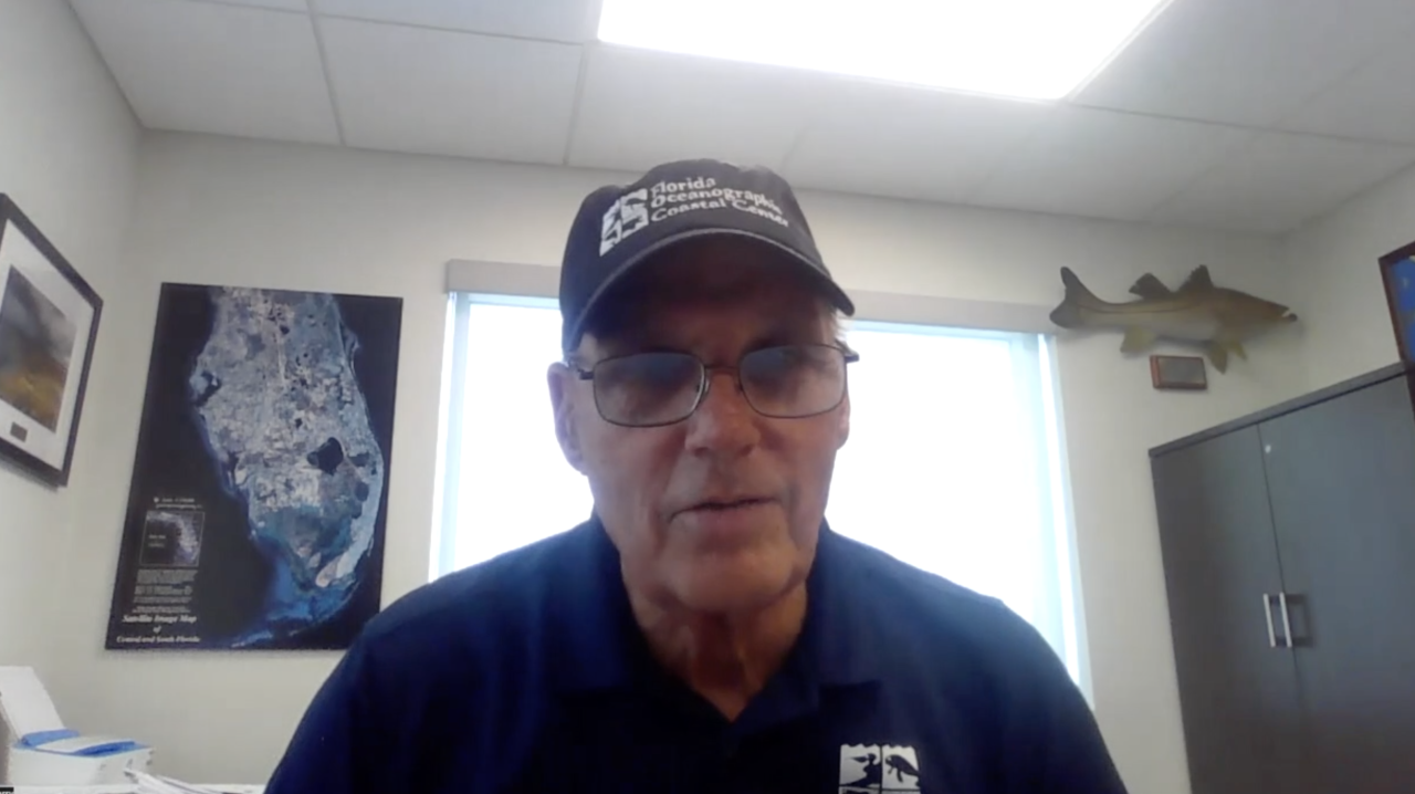
“All that means is changing from one reference point to another reference point. The lake level is still the lake level," said Florida Oceanographic Society Executive Director Mark Perry.
Perry added it's not as if a foot of the lake magically disappeared.
Water readings in the new system will be anywhere from 0.6 to 1.6 feet lower. In Lake Okeechobee, the difference will be 1.25 feet.
The Army Corps, which is in charge of releasing water when it deems necessary, said it will continue to post both water measurements in the meantime, making the transition to NAVD in the future.
