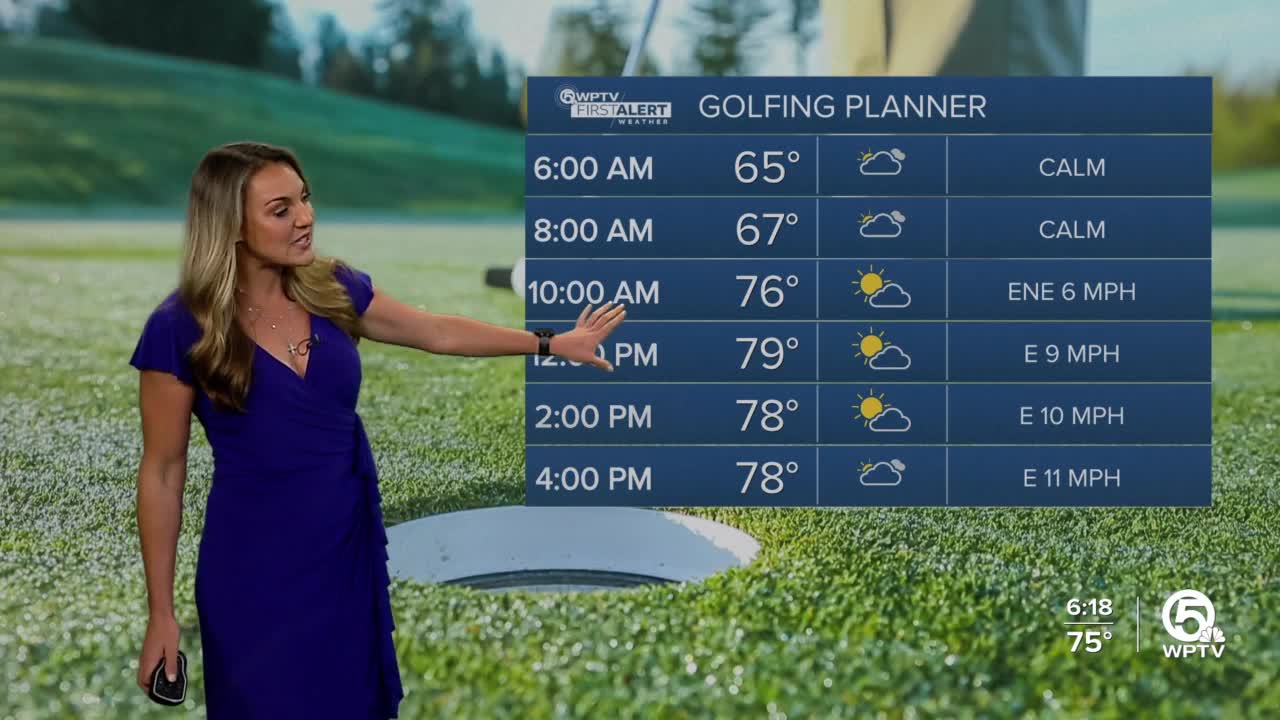
WEST PALM BEACH, Fla. — We are watching a cold front located to our northwest that will weaken significantly as we head into Thursday after overnight lows in the 60s.
It will likely trigger a few showers, but it won't be anything substantial.
It will be the same story for Friday and Saturday since we have a stalled weak boundary across the Florida peninsula.
MORE WEATHER: Radar | Alerts | 7-Day Forecast | Hourly Forecast
With increased moisture and the very weak front trying to push southward, this will increase rain chances on Sunday with a slim chance of an isolated storm in the showers.
Again, it won't be a weekend washout, but it will be quite cloudy and seasonable in the upper 70s to lower 80s.


