


WEST PALM BEACH, Fla. — Scattered storms will diminish overnight. lows in the 70s.
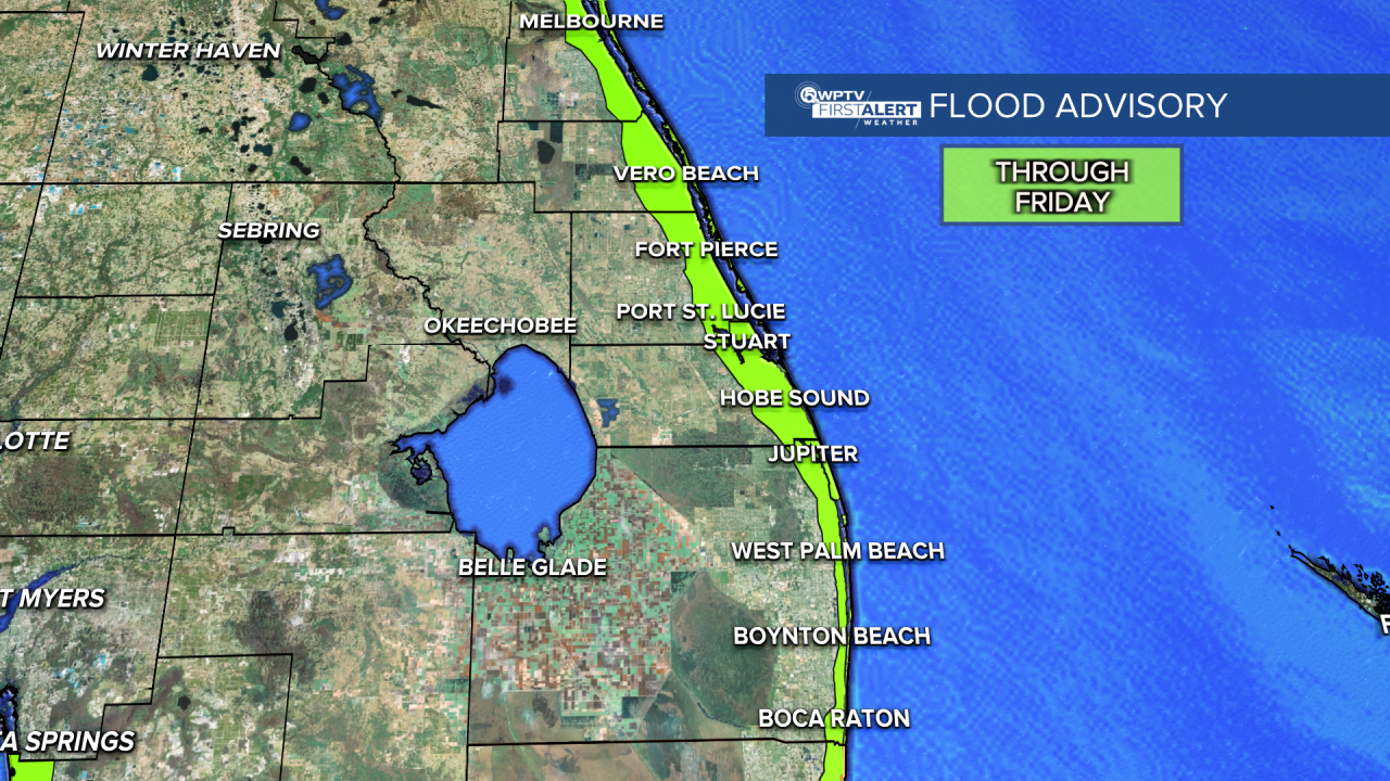
A coastal flood advisory is in effect for our entire viewing area through Friday afternoon.
We will be experiencing minor coastal flooding during the high tide cycles.
Our next two high tides occur at 9:01 p.m. and 9:31 a.m. Thursday.
MORE WEATHER: Radar | Alerts | 7-Day Forecast | Hourly Forecast
Otherwise, showers and storms continue as we head into the next several days.
Roughly a 50% chance of seeing those afternoon showers and storms. Some of the storms could be on the stronger side, producing heavy rainfall and gusty winds.
They will be slow-moving, so some flooding is possible as well.
As we head into the weekend, some drier air starts to mix into South Florida. Plus, the winds will come in off the Atlantic.
We'll have the best chance of seeing showers along the coast during the morning, and then afternoon storms push farther inland. Limited though, since drier air will be around. Highs will be near 90.


