

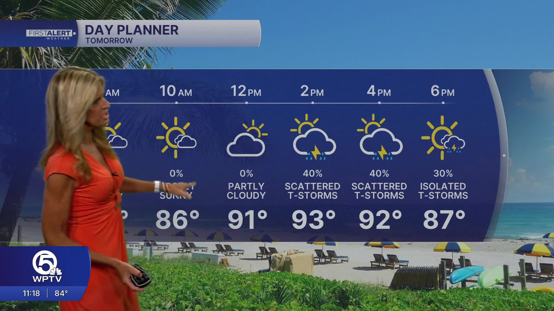


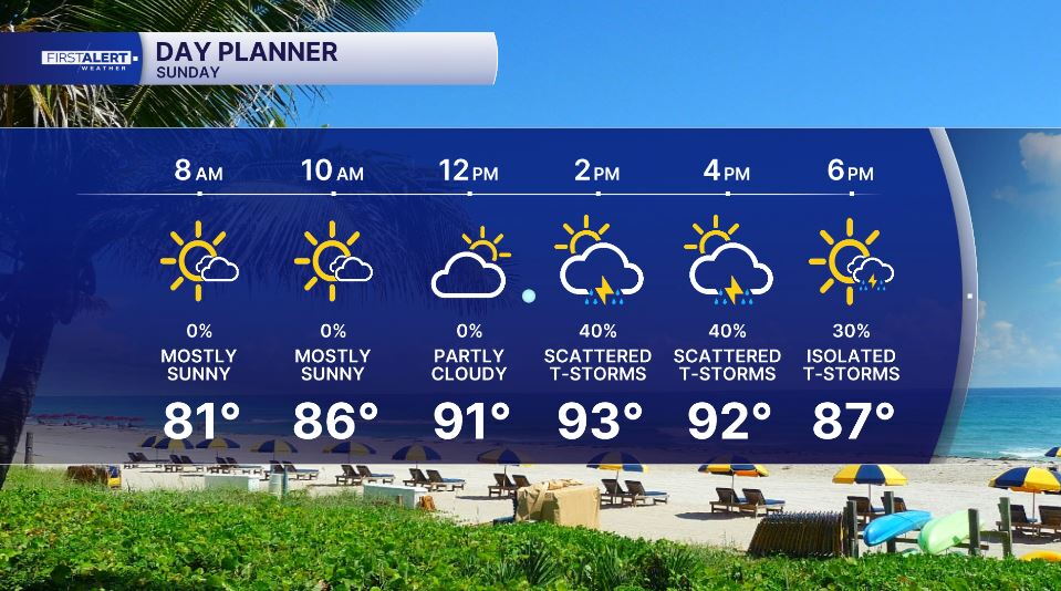
WEST PALM BEACH, Fla. — We'll wake up to mostly sunny skies Sunday with spotty t-storms thunderstorms expected to develop in the afternoon and early evening hours. The highest rain chances will occur late afternoon with peak heating along the Atlantic sea breeze.
MORE WEATHER: Radar | Alerts | 7-Day Forecast | Hourly Forecast
We can't rule out the possibility of an isolated, stronger storm. These stronger storms have the potential to produce up to 60 mph winds. Heat advisories may not be needed Sunday - but it will still be hot and humid. High temps expected in the lower-mid 90s and Peak heat index temps could still reach 105-110° briefly.
Boating conditions will be great Sunday morning with SE winds 5-10 and seas 1-2 feet. Watch for scattered storms during the afternoon
Looking ahead, Monday looks drier with most of the rain concentrated over southwest Florida. Rain and thunderstorm coverage looks to increase again in the middle of the week.
While we will likely see scattered storms each day this week - the highest coverage will be across the interior and SW coast of Florida.


