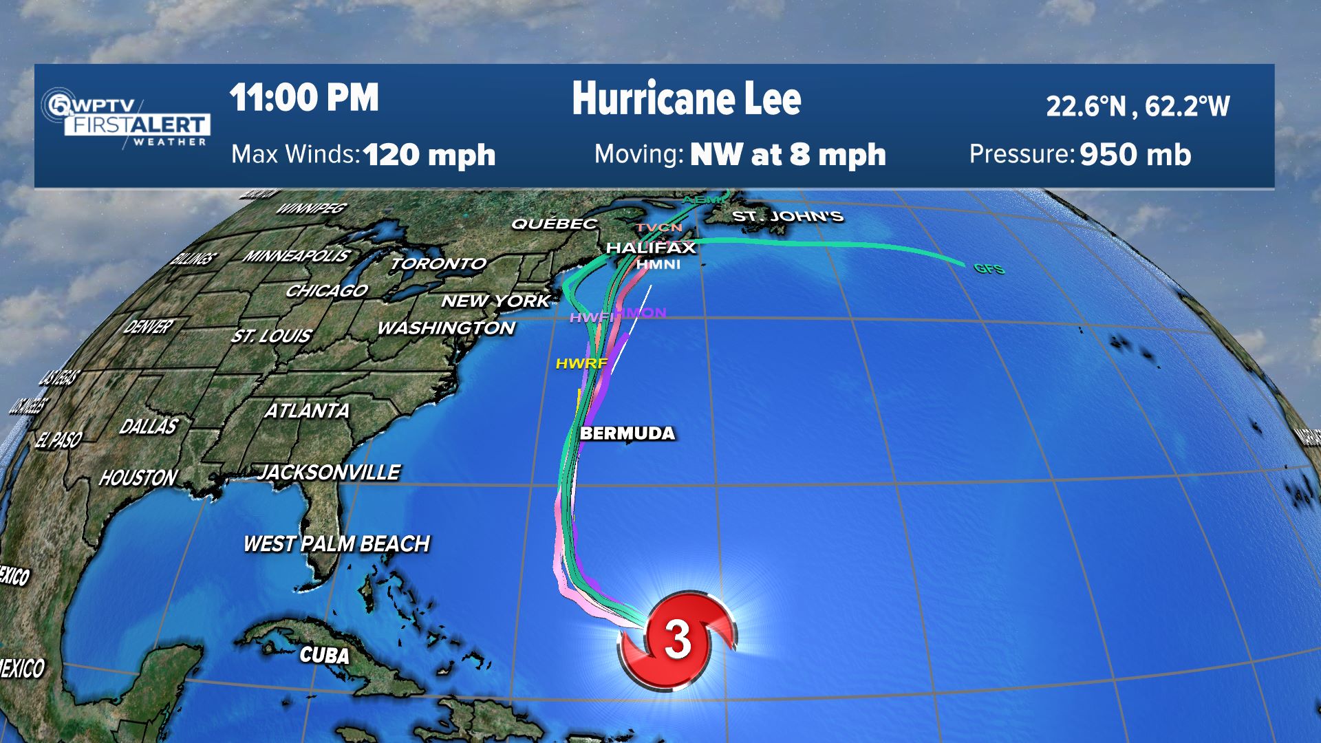
WEST PALM BEACH, Fla. — Hurricane Ian has strengthened into a major hurricane as the entire state remains under a state of emergency.
According to the 5 a.m. advisory from the National Hurricane Center, Ian is a Category 3 storm packing maximum sustained winds of 125 mph and moving north, northwest near 13 mph.
Ian made landfall over western Cuba southwest of La Coloma at 4:30 am. Tuesday.
Ian is expected to strengthen into a category 4 storm sometime later Tuesday as it moves into the Gulf of Mexico. It's expected to then move towards Tampa/Sarasota/Clearwater by Wednesday night through Thursday morning where it's expected to weaken slightly before moving onshore.
The current track has Ian moving towards North Florida by late Thursday and out of Florida by Friday.

While the center will stay away from us locally, we'll still see winds pick up, heavy rain and the risk for severe storms.
A tropical storm watch is in effect for Palm Beach County. A tropical storm warning is in effect for Indian River, St. Lucie, Martin and Okeechobee counties and Lake Okeechobee.
Palm Beach County and the Treasure Coast are also currently under a flood watch.

TRACKING THE TROPICS: Hurricane Center | Hurricane Guide
The latest computer models have the storm shifting a bit to the east and making landfall just north of Tampa at 2 p.m. Thursday.
The outer bands of Ian will impact the viewing area Tuesday and Wednesday. A tornado threat is possible, as well as 3 to 6 inches of rain by mid-week from the storm's feeder bands.

A Tropical Storm Warning is in effect for:
- Okeechobee County
- Martin County
- St. Lucie County
- Indian River County
- Cuban provinces of La Habana, Mayabeque, and Matanzas
- Lower Florida Keys from Seven Mile Bridge westward to Key West
- Flamingo to Englewood
A Tropical Storm Watch is in effect for:
- Palm Beach County
- Florida Keys from Seven Mile Bridge to the Channel 5 Bridge
- North of the Suwannee River to Indian Pass
- Jupiter Inlet to Altamaha Sound
A Hurricane Warning is in effect for:
- Cuban provinces of Isla de Juventud, Pinar del Rio and Artemisa
- Englewood to the Anclote River, including Tampa Bay
- Dry Tortugas
- Okeechobee County
A Storm Surge Warning is in effect for:
- Anclote River southward to Flamingo
- Tampa Bay
A Storm Surge Watch is in effect for:
- Florida Keys from the Card Sound Bridge westward to Key West
- Dry Tortugas
- Florida Bay
- Aucilla River to Anclote River
- Altamaha Sound to Flagler/Volusia County Line
- Saint Johns River
A Hurricane Watch is in effect for:
- North of Anclote River to the Suwannee River
- Bonita Beach to Englewood


