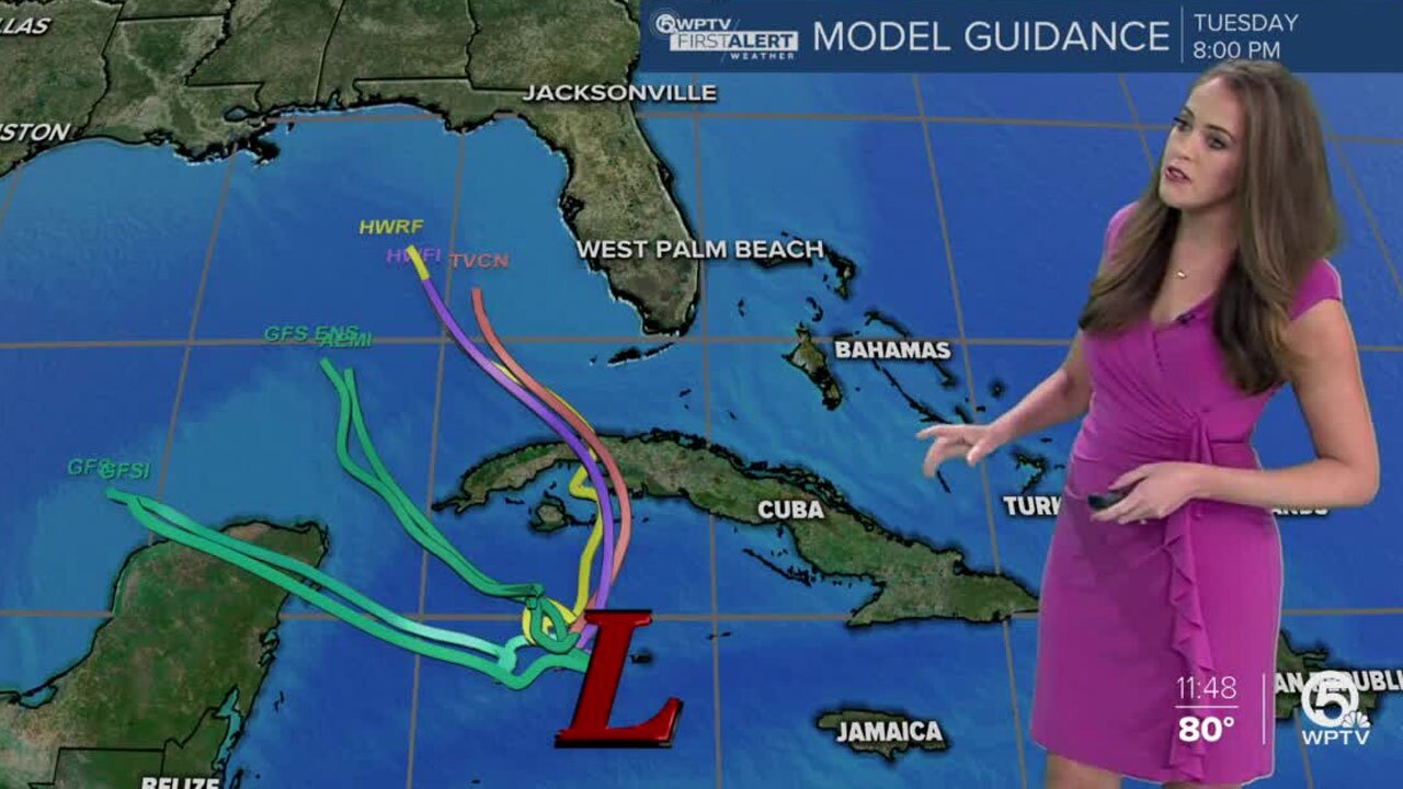
WEST PALM BEACH, Fla. — The National Hurricane Center said Friday a system south of Cuba could form into a tropical depression this weekend.
Forecasters said the low-pressure system, currently located just west of Grand Cayman Island, is gradually becoming better defined.
At 2 p.m. Friday, the chance of forming into a tropical depression is 70 percent.
SPECIAL SECTION: Hurricane Guide | Hurricane Maps
NEW 2pm EDT Friday: A tropical depression will likely form in the NW Caribbean Sea during the next day or two. The system could move near western Cuba by Sunday and
— National Hurricane Center (@NHC_Atlantic) October 23, 2020
move slowly across the southeastern Gulf of Mexico by early next week. Full outlook: https://t.co/tW4KeFW0gB #95L pic.twitter.com/dstO5v7jAR
It is slowly drifting toward the northwest and could move near western Cuba by Sunday and then across the southeastern Gulf of Mexico by early next week.
South Florida residents should monitor the progress of the disturbance, the NHC said.
Regardless of development, the system could bring more heavy rainfall to South Florida, which has experienced an already soggy week.
Coastal Palm Beach County is under the risk of excessive rainfall Sunday.

The relentless hurricane season ran out of names in September and has already had five named storms with the Greek alphabet.
This is only the second time the Greek alphabet has been used to name storms, which first occurred in 2005.
If this system reaches tropical storm strength, the name would be Zeta.


