WEST PALM BEACH, Fla. — In the tropics, things are heating up! We have three systems to track.
Category 4 Beryl continues to push west toward the Windward Islands in the Caribbean with max winds of 130 mph.
This system will approach the windward islands as a very dangerous cat 4 hurricane.
TRACKING THE TROPICS: Hurricane Center | Hurricane Guide
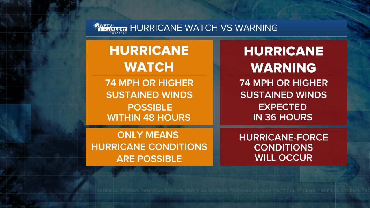
Hurricane warnings have been issued for Barbados, St. Lucia, Grenada, Tobago, St. Vincent, and the Grenadine Islands.
Tropical tracks are in agreement that Beryl will continue to move in the south Caribbean waters and likely start to move slightly northward towards Jamaica and Cuba by this coming Wednesday. Beryl will likely make landfall near the Yucatan Peninsula late Thursday into Friday

In addition to Beryl, there are two areas of interest.
The first is another tropical wave off the West coast of Africa. This system looks to follow a similar path as Beryl. We will continue to watch this system try to organize over the warm waters of the Atlantic. It currently has a 70% chance of development in the next seven days
The second wave ( Invest 94-L) has become Tropical Depression #3. It is moving over the very warm waters of the Bay of Campeche. This will bring heavy rainfall to the Yucatan Peninsula this weekend.


