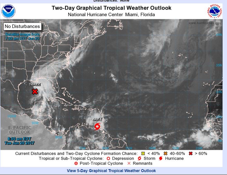
With our first "PTC's" of the year down there's a lot of confusion about this new practice from the National Hurricane Center. Before Cindy became a tropical storm it was dubbed "Potential Tropical Cyclone 3." It had a forecast track cone and the Louisiana coast was under a Tropical Storm Warning before we ever had an actual named storm. That prompted a lot of questions as to why this disturbance wasn't named and considered a tropical storm sooner.

This is a result of a new policy implemented by the NHC this year. This policy gives the NHC the option of issuing advisories, watches and warnings as well as a forecast cone for disturbances that are not yet at tropical cyclone status. In order for a disturbance to be considered a "Potential Tropical Cyclone" it must pose the threat of bringing tropical storm or hurricane conditions to land within 48 hours.

This changes the long-standing policy of only issuing advisories, watches and warnings once a storm has formed. This change will allow the National Hurricane Center to put the public on alert with tropical watches and warnings sooner than it has ever been able to.

Advancements in forecasting tropical systems has made this possible. There is now high confidence in forecasting the development of tropical systems before they're fully formed.


